West Bank
Photos
13 Photos
Per Page:
Filter Categories
All
Filters
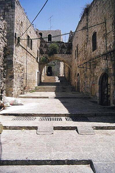
A scene from the Old City in Israeli-occupied East Jerusalem.
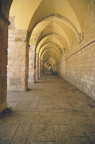
The hallway leading to the Dome of the Rock in Israeli-occupied East Jerusalem.
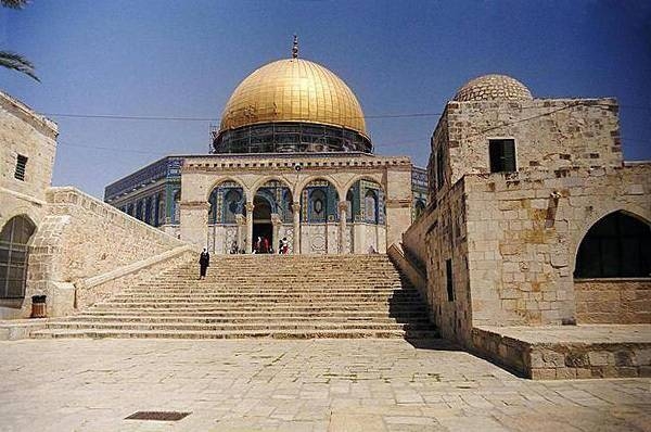
The Dome of the Rock, located on Haram al-Sharif (also known as the Temple Mount), in Israeli-occupied East Jerusalem.
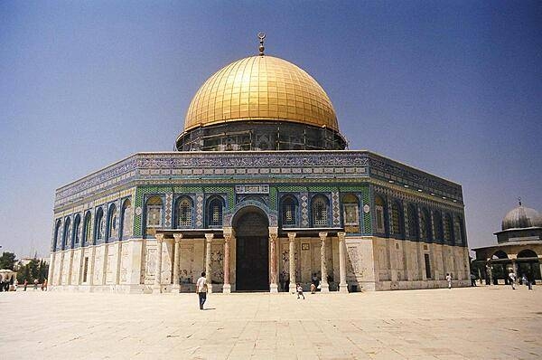
The Dome of the Rock, located on Haram al-Sharif (also known as the Temple Mount), in Israeli-occupied East Jerusalem.
A view of the Western Wall (also known as the Wailing Wall or Buraq Wall) with the Dome of the Rock located above it. Both sites are in Israeli-occupied East Jerusalem.
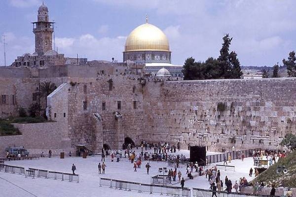
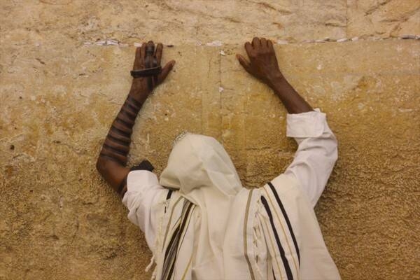
The Western Wall (also known as the Wailing Wall or Buraq Wall) is an ancient limestone wall in the Old City of Jerusalem. The wall was originally erected as part of the expansion of the Second Jewish Temple by Herod the Great in 19 B.C. These remains are considered holy to Jews as the temple was destroyed by the Romans in 70 A.D. The wall is now part of a larger wall that surrounds the Muslim Dome of the Rock and Al-Aqṣā Mosque. This photo depicts Jewish pilgrims in prayer.
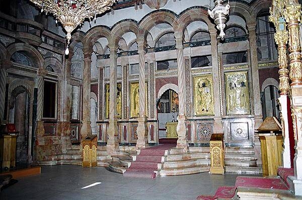
Inside the Church of the Holy Sepulchre, built over the site traditionally identified as the tomb of Christ, in Israeli-occupied East Jerusalem.
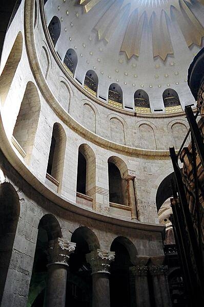
The dome of the Church of the Holy Sepulchre in Israeli-occupied East Jerusalem.
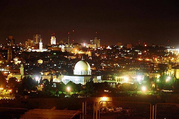
Jerusalem lies on a plateau between the Mediterranean and the Dead Sea; it is one of the oldest cities in the world, and is considered holy to the three major Abrahamic religions - Judaism, Christianity, and Islam. In 1538, the city walls were rebuilt around Jerusalem and now define the Old City, a World Heritage Site. Shown in the center of this view is the Dome of the Rock in Israeli-occupied East-Jerusalem.

A nighttime view of Jerusalem and Israeli-occupied East Jerusalem, taken from the Mount of Olives.
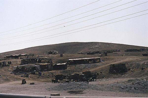
A Bedouin encampment on the road to Jericho from Jerusalem. Bedouins are constantly on the move to feed and water their herds.
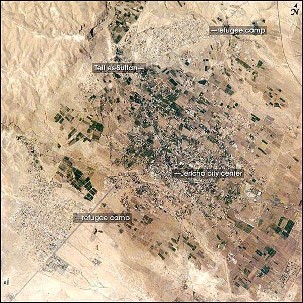
Commonly known as "the oldest city in the world," Jericho is an important historical, cultural, and political center located northwest of the Dead Sea. The city is perhaps best known from the Biblical story of a great victory over its Canaanite citizens by the Israelite leader Joshua. In the story, the walls of the heavily fortified city were destroyed with divine assistance (ca. 1400 B.C.). The site of ancient Jericho, known today as Tell es-Sultan, has been the focus of several archaeological excavations to investigate the Biblical story. The original settlement was built on a hill, or "tell." The results of these excavations suggest that the walls of Tell es-Sultan have been built and rebuilt many times, due mainly to collapse caused by earthquakes, which are common in the region. One of these events may be the basis for the story of Joshua. Modern-day Jericho is a popular tourist destination due to its pleasant climate, historical sites, and religious significance. This photograph shows the city center and the original settlement mound of Tell es-Sultan. Total distance across the image is approximately 8 km (5 mi). Two large refugee camps are located to the northwest and south of the city center. The high building density of the refugee camps contrasts sharply with the more open city center and irrigated fields (green polygonal patches) of Jericho, and illustrates one of the physical consequences of the ongoing Israeli-Palestinian conflict in the region. Photo courtesy of NASA.
Page 01 of 02