Virgin Islands
Photos
47 Photos
Per Page:
Filter Categories
All
Filters
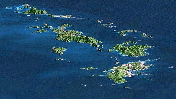
Saint Thomas, Saint John, Tortola, and Virgin Gorda are the four main islands (front to back) in this east-looking view of the US Virgin Islands and British Virgin Islands. For this view, a nearly cloud-free Landsat image was draped over radar elevation data, and shading was added to enhance the topographic expression. Elevation is shown with 1.5x scaled vertical exaggeration. Coral reefs fringe the islands in many locations and appear as very light shades of blue. Tropical vegetation appears green, while developed areas appear in shades of brown and white. Image credit: NASA, JPL, and NIMA.
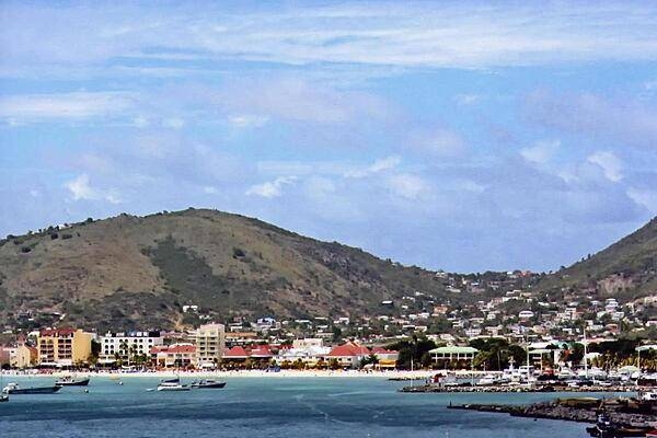
A view of the capital of Charlotte Amalie on Saint Thomas. The port city's deepwater harbor was once a haven for pirates. Today, it is a famed cruise ship port of call.
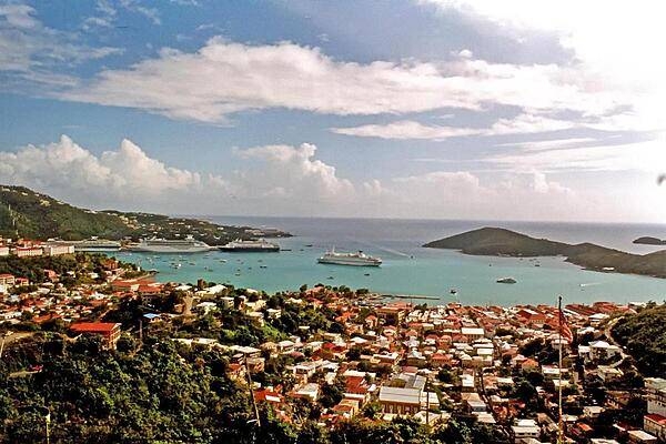
Cruise ships in Charlotte Amalie harbor, Saint Thomas.
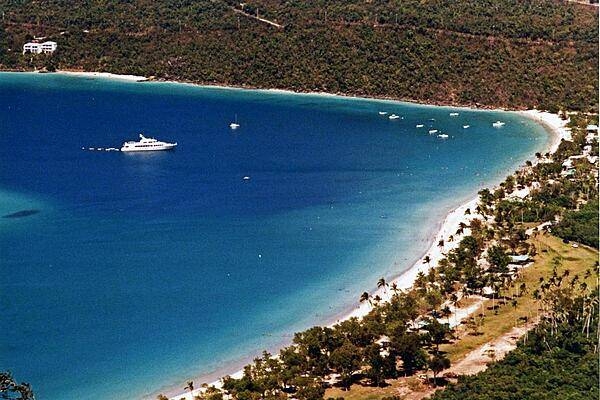
An anchored yacht off the island of Saint Thomas.
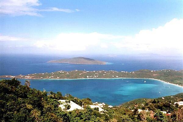
A view of Saint Thomas Bay.
Trunk Bay on Saint John; its beach, considered one of the Caribbean's most beautiful, even features an underwater trail.
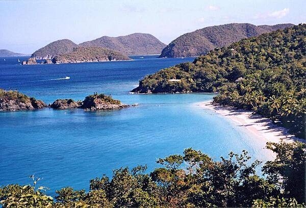
Trunk Bay is a beautifully sited locale on the island of Saint John and one of the most photographed places in the Virgin Islands. The bay has an underwater trail for snorkeling along its coral reef. Image courtesy of the US Geological Survey.
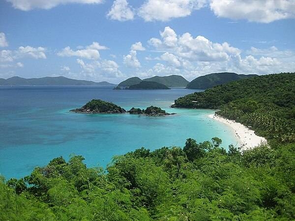
Trunk Bay on the island of Saint John has consistently been voted one of the top beaches in the world. Image courtesy of the US Geological Survey.
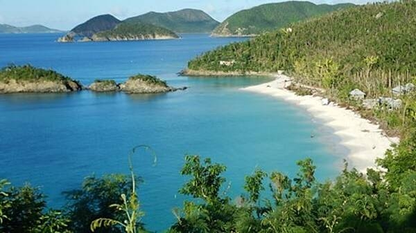
Standing in Trunk Bay, looking out to sea.

Snow white beach on Saint John. At 50 sq km, Saint John is the smallest of the three main US Virgin Islands. Approximately 60% of the island is protected as Virgin Islands National Park. Photo courtesy of the US National Park Service.
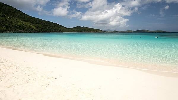
Cinnamon Bay, Saint John.
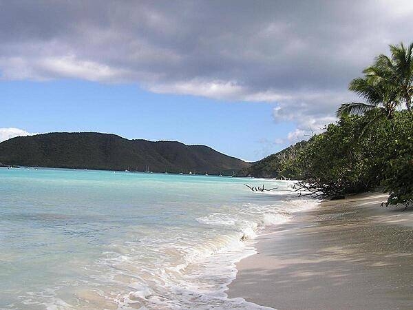
Mary Point on St. John as seen from Annaberg. Photo courtesy of the US National Park Service.
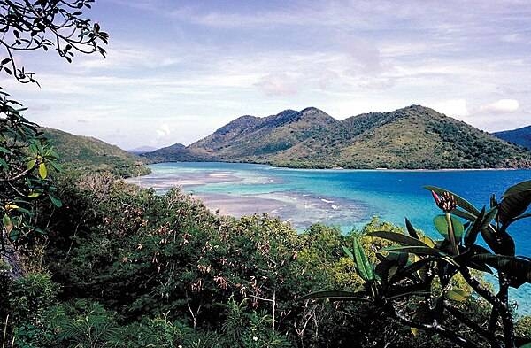
Page 01 of 04