Iceland
Photos
48 Photos
Per Page:
Filter Categories
All
Filters
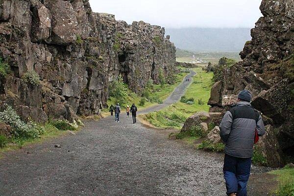
Almannagja, the exposed eastern boundary of the North American geologic plate, Thingvellir National Park.

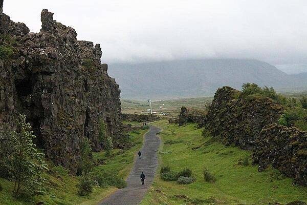
Almannagja, a large canyon-like fault in Thingvellir National Park, is actually the exposed eastern boundary of the North American geologic plate.
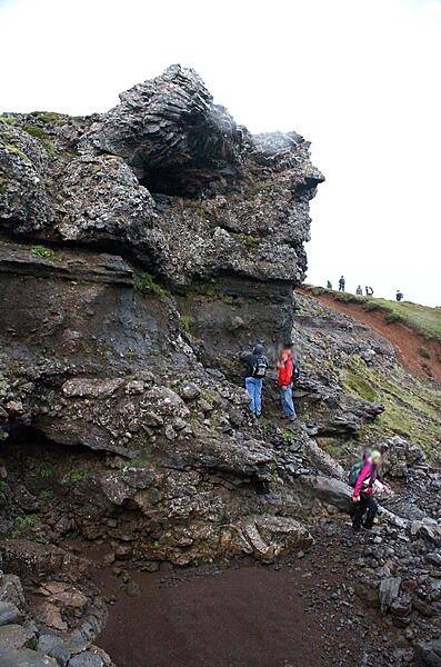
Downchannel from the volcanic dike in Thingvellir National Park.


A dike (volcanic feeder tube) merging into layered strata in Thingvellir National Park.

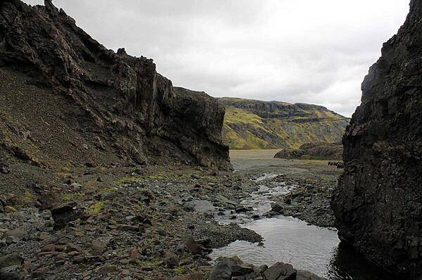
Mini stream between banks of eroding basalt in Thingvellir National Park.

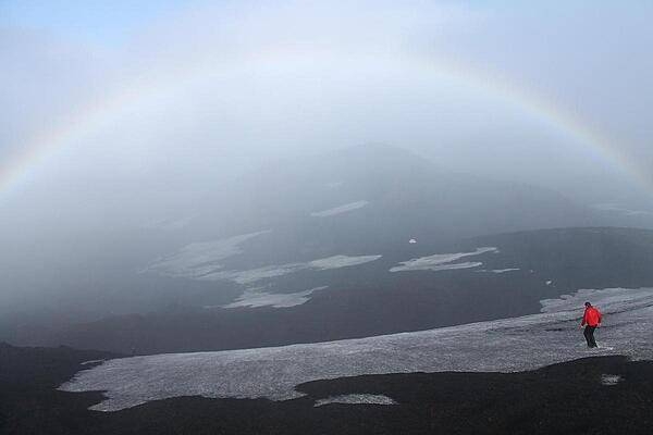
Rainbow envelopes the peak of Hekla volcano.

Snow-filled crater from the 2000 eruption of Hekla volcano.

Pyroclastic rock bombs scattered about a crater in the Hekla Mountain Range.


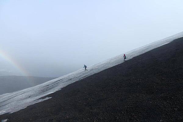
Descent down Hekla across the snowpack. Hekla is a stratovolcano located in the south of Iceland; it is one of the island's most active volcanoes, having erupted more than 20 times since the ninth century A.D.
Descent down Hekla across the snowpack. Hekla is an active volcano located in the south of Iceland; it is 1,491 m (4,892 ft) high.
A hauntingly luminous view down the southwest flank of Hekla volcano.

A geyser field and stream runoff.

Page 01 of 04