Haiti
Photos
6 Photos
Filter Categories
All
Filters
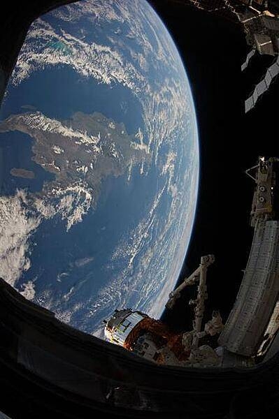
The Caribbean island of Hispaniola, jointly occupied by Haiti and the Dominican Republic, dominates this space station view of the earth. Haiti, with its northern and southern pincer-like peninsulas, takes up the western third of the island, while the Dominican Republic occupies the triangular eastern two-thirds. Haiti's capital of Port-au-Prince lies at the eastern end of the notch-like bay named Canal de Saint-Marc. Photo courtesy of NASA.
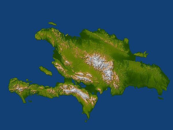
Satellite radar topographic view of the island of Hispaniola. The devastating earthquake at Port-au-Prince, Haiti, on 12 January 2010, occurred on the Enriquillo-Plantain Garden fault, visible here as a prominent linear landform immediately southwest of the city of Port-au-Prince and as a series of fault traces extending westward along the full length of the southern Tiburon Peninsula. Image courtesy of NASA/JPL/NGA.
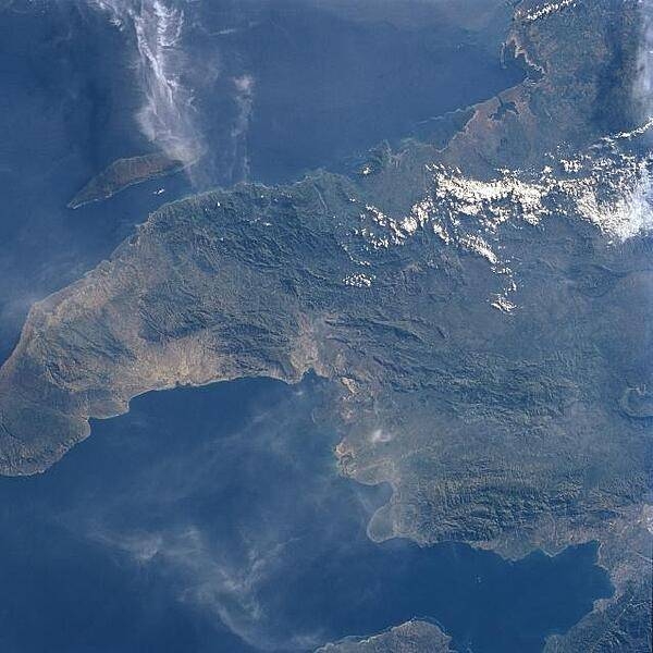
The northwest peninsula of Haiti and the Gulf of Gonave are visible in this northeast-looking view. The Gulf of Gonave is situated in the pincers of two mountainous peninsulas and is considered one of the most beautiful in the world. Image courtesy of NASA.
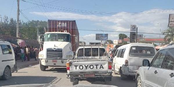
Haiti's infrastructure is primitive and poorly maintained, the result of decades of under-investment and environmental damage. All of the major transportation systems in Haiti are located near or run through the capital of Port-au-Prince. Several initiatives are aimed at road improvements to improve social and economic conditions in the country.
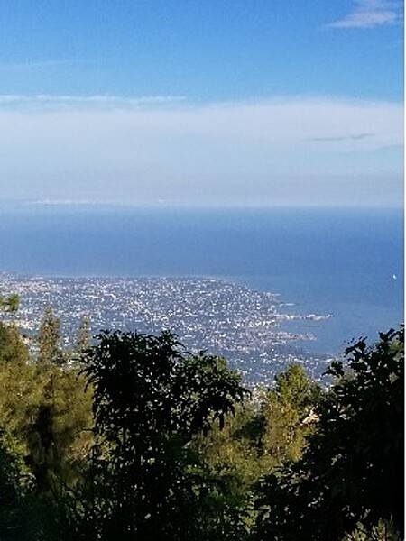
Port-au-Prince, the capital and most populous city of Haiti, was laid out in a grid pattern in 1749. The Gulf of Gonâve acts as a natural harbor for the city and sustains its economic activity. Port-au-Prince has a tropical wet and dry climate and relatively constant temperatures throughout the course of the year.
Ile-à-Vache (Cow Island) is an island commune in the Les Cayes (Baie de Cayes) about 10 km (6 mi) off the coast of Haiti’s southwest peninsula. The island is about 13 km (8 mi) long and 3.2 km (2 mi) wide, with an area of 52 sq km (20 sq mi). The western end of the island has rolling hills and swamps; the eastern side of the island has a lagoon with a large mangrove forests. The island is surrounded by several dangerous shoals, reefs, and rocks that have been the cause of shipwrecks throughout history. The government has plans to develop this area’s tourism in a sustainable manner.
