Guatemala
Photos
6 Photos
Filter Categories
All
Filters
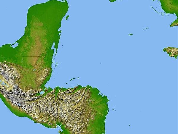
Satellite radar topography image of a portion of Central America. Due to persistent cloud cover, obtaining conventional high-altitude photos of this region is extrordinarily difficult. Radar's ability to penetrate clouds and make 3-D measurements allowed scientists to generate the first complete high-resolution topographic map of the entire region. All of Guatemala, Belize, El Salvador, and Honduras are visible on this image, as well as a considerable portion of southern Mexico (the Yucatan Peninsula). Image courtesy of NASA/JPL/NGA.
A cross overlooks the city of Antigua in the central highlands of Guatemala; the Volcan de Agua (Volcano of Water) appears in the background.

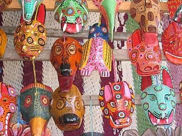
Indian masks at an open-air market.
Cathedral in the city of Antigua.
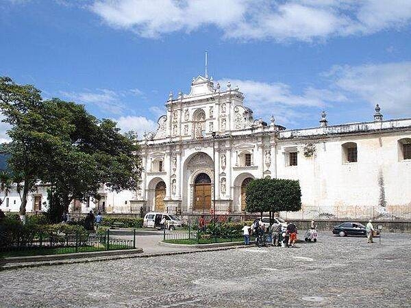
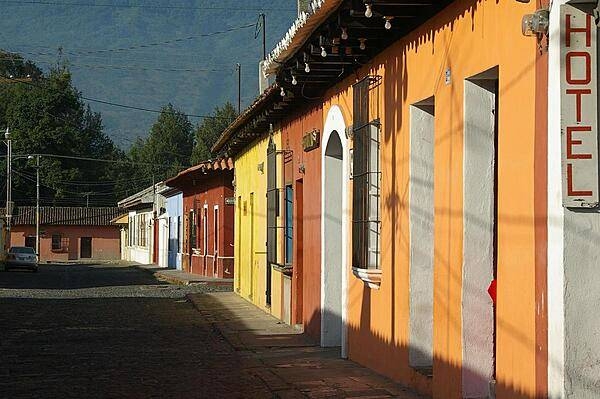
View in the town of Antigua, about an hour's drive outside of Guatemala City.
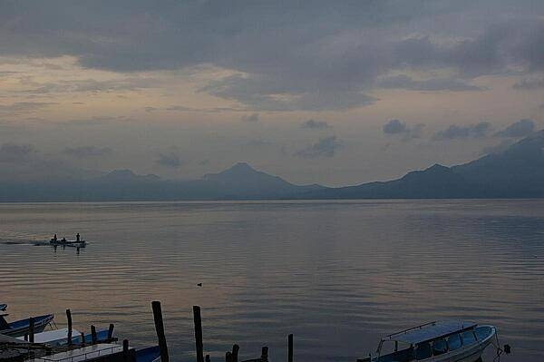
The volcanic Lake Atitlan at sunrise, as the fishermen begin their day.
