Estonia
Photos
8 Photos
Filter Categories
All
Filters
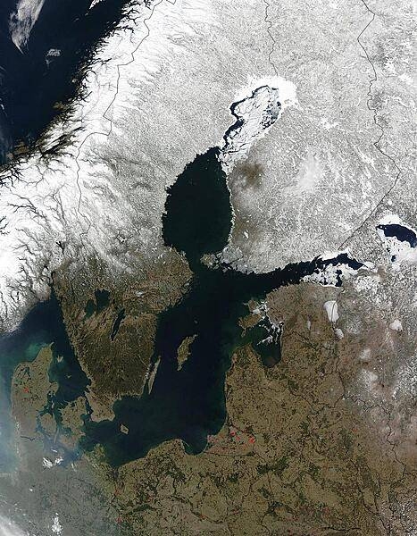
Red dots mark the locations of fires burning in countries south and east of the Baltic Sea in this early April image. The scattered fires were probably set to clear land for agricultural purposes. The Scandinavian countries, Norway and Sweden, and Finland to the north of the Sea, are still blanketed in snow. From the left, the countries lining the Baltic on the south are Denmark, Germany, Poland, Russia (Kaliningrad), Lithuania, Latvia, Estonia, and Russia. Belarus forms the lower right corner of the image. Photo courtesy of NASA.
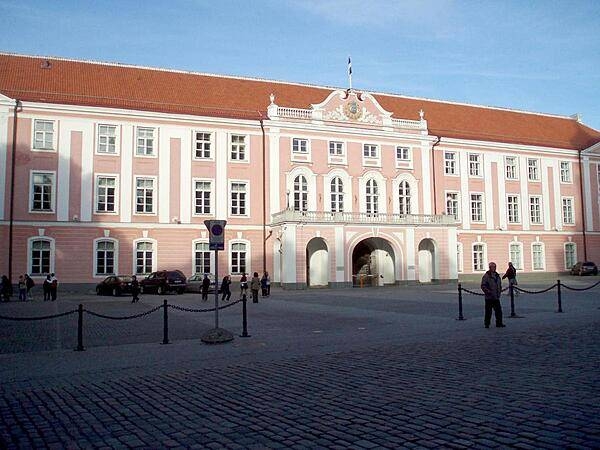
Toompea Castle in the upper town of Tallinn is the home of the Estonian Parliament - the Riigikogu.
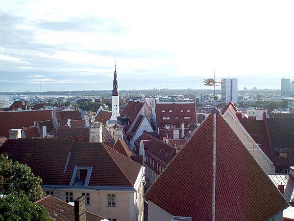
Skyline of the lower town of Tallinn as seen from Toompea, the hill that makes up the upper town.
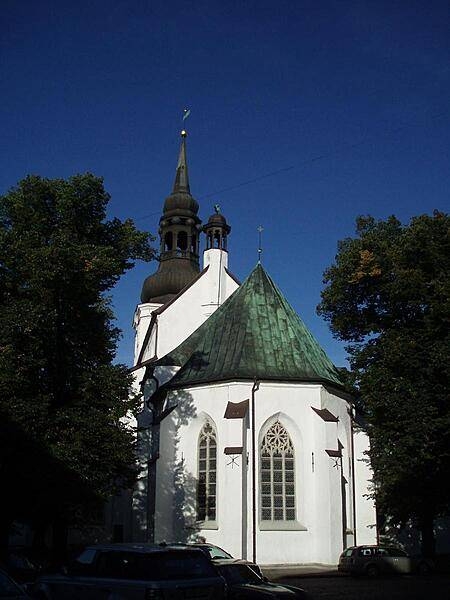
The Cathedral of Saint Mary in the upper town of Tallinn is also known as the Dome Church; it is the oldest church in the city dating to ca. 1219.
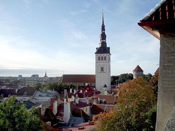
Rooftop view of the lower town of Tallinn as seen from the upper town. The prominent church is that of Saint Nicholas, originally built in the 13th century. Partially destroyed by Soviet bombing during World War II, the church was restored and is today used as an art museum and concert hall.
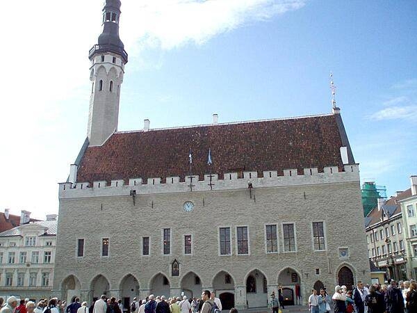
A Town Hall on the central square of Tallinn was first built at the beginning of the 13th century; the current structure is a reconstructed version dating to 1404. The building functioned as the city's administrative center for some 500 years; today it serves as a reception hall for visiting dignitaries and as a tourist destination site.
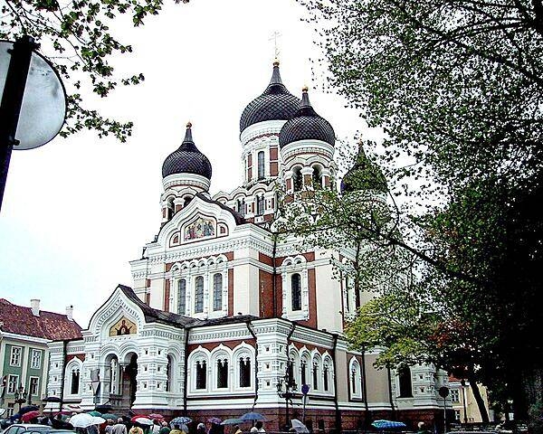
Alexander Nevsky Cathedral in the upper town of Tallinn was completed in 1900.
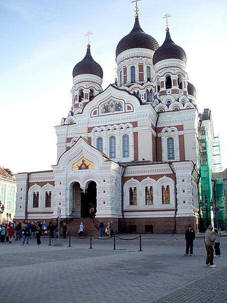
Another view of the Alexander Nevsky Cathedral in Tallinn - this time on a rainy day.
