El Salvador
Photos
4 Photos
Filter Categories
All
Filters
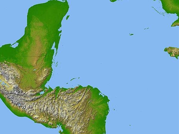
Satellite radar topography image of a portion of Central America. Due to persistent cloud cover, obtaining conventional high-altitude photos of this region is extrordinarily difficult. Radar's ability to penetrate clouds and make 3-D measurements allowed scientists to generate the first complete high-resolution topographic map of the entire region. All of Guatemala, Belize, El Salvador, and Honduras are visible on this image, as well as a considerable portion of southern Mexico (the Yucatan Peninsula). Image courtesy of NASA/JPL/NGA.

Lake Ilopango is a crater lake which fills a volcanic caldera in central El Salvador, immediately east of the capital city San Salvador. The caldera collapsed most recently in about A.D. 500, producing 20 times as much ash as the Mount St. Helens eruption, and blanketing an area of at least 10,000 sq km waist-deep in ash. The only historical eruption occurred in 1879, forming lava domes, now islets in the lake. Quetzaltepec is the stratovolcano just west of the city. Its last eruption in 1917 produced lavas flowing down the northwest flank, and evaporated the crater lake. Image courtesy of NASA.

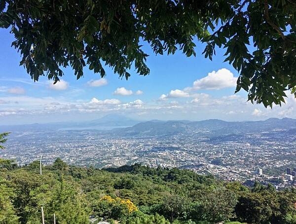
San Salvador (Holy Savior) has been the capital of El Salvador since 1839. It is located on the Ace Chaute River in the Boquerón Volcano Valley, a region of high seismic activity. Devastated by earthquakes in 1854, 1873, 1917, and 1986 and by heavy floods in 1934, it has been reconstructed with modern government buildings, scenic parks, and plazas. San Salvador has a tropical wet and dry climate, and enjoys very warm to hot weather all year round.

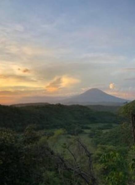
Santa Ana (Ilamatepec) volcano is a stratovolcano about 45 km west of San Salvador city. It is El Salvador's highest volcano at 2,381 m (7,812 ft) and one of its most active. The broad summit of Santa Ana has a beautiful array of concentric craters with crescent-shaped rims.
