Cook Islands
Photos
6 Photos
Filter Categories
All
Filters
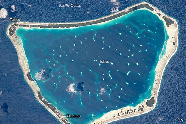
Manihiki is one of the larger islands (10.5-km (6.5-mi) long) in the remote Cook Island chain; with its fringing coral reef and central lagoon, it has the hallmarks of a classic atoll. The coral lives in the warm, shallow waters that appear as the light blue zones around the main coastline and the numerous small islets within the lagoon. Most of the main atoll is made of sandy beaches without vegetation; it appears white or cream due to dead coral broken up by waves. Soils develop on the highest parts of these beaches, supporting dense stands of dark green trees. A few clouds cast shadows on the water.
Two small towns - Tauhunu and Tukao - appear as clusters of small bright patches etched into the forest. Aircraft land at the runway in Tukao after flying from New Zealand, 3,650 km (2,270 mi) to the southwest. Tourism is the main economic activity on the atoll, with diving in the lagoon and fishing in the waters outside it as the major attractions. Manihiki also produces rare black pearls, which are harvested from the local species of oyster. Image courtesy of NASA.
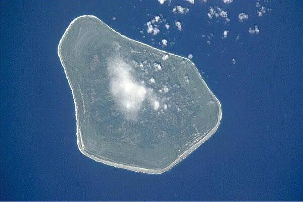
Mangaia is the most southerly of the Cook Islands and the second largest in size after Rarotonga Island (next photo). Image courtesy of NASA.
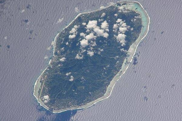
Rarotonga is the largest and most populous of the Cook Islands. Image courtesy of NASA.
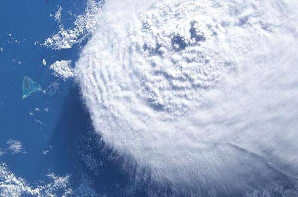
A large cloud bank moves in on Aitutaki Atoll in the Southern Cook Islands. Image courtesy of NASA.
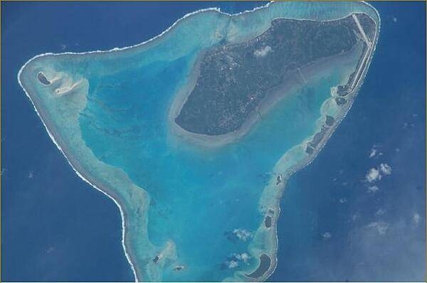
Aitutaki in the Southern Cook Islands has a distinctive equilateral triangular shape (roughly 12 km (7.5 mi) on each side). It is an "almost atoll" whose coral reef barrier does not extend above the ocean along its southern side. Image courtesy of NASA.

A close up view of Aitutaki. The island's airport may be seen on the northern point (upper right). Image courtesy of NASA.
