Antigua and Barbuda
Photos
3 Photos
Filter Categories
All
Filters
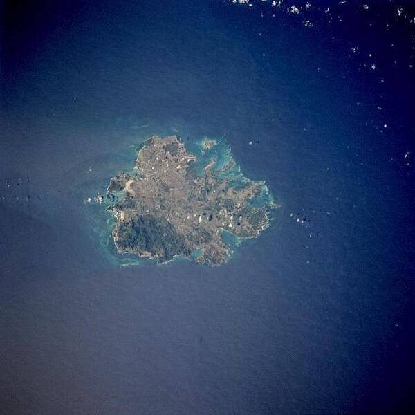
The island of Antigua as seen from space. St. John's, the country's capital, is located along the northwest coast, adjacent to one of the island's many natural harbors. More than half of the country's population lives in the St. John's area. Image courtesy of NASA.

A closer view of the island of Antigua shows severely eroded volcanic remnants along its forested southwestern quadrant. Although Antigua receives approximately 100 cm (40 in) of precipitation annually, wide fluctuations in rainfall amounts occasionally create serious water shortages, especially for the agricultural industry. St. John's, the country's capital, is located along the northwest coast, adjacent to one of the island's many natural harbors. More than half of the country's population lives in the St. John's area. Image courtesy of NASA.

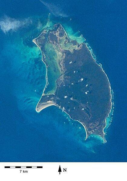
Barbuda as viewed from space. The island, which lies north of Antigua, is mostly coral limestone and exhibits little topographic variation; its highest point is only 38 meters above sea level. Barbuda is sparcely inhabited compared to its sister island. Photo courtesy of NASA.
