American Samoa
Photos
81 Photos
Per Page:
Filter Categories
All
Filters
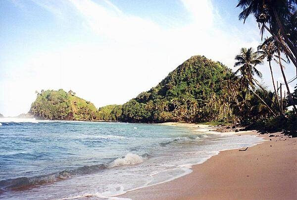
Deserted beach near Pago Pago. American Samoa is an incorporated, self-governing territory of the US. A part of the Samoan island chain, it is the southernmost territory of the US. The large harbor at Pago Pago contains a full US naval station. The inhabitants of American Samoa are American nationals, but not necessarily American citizens.
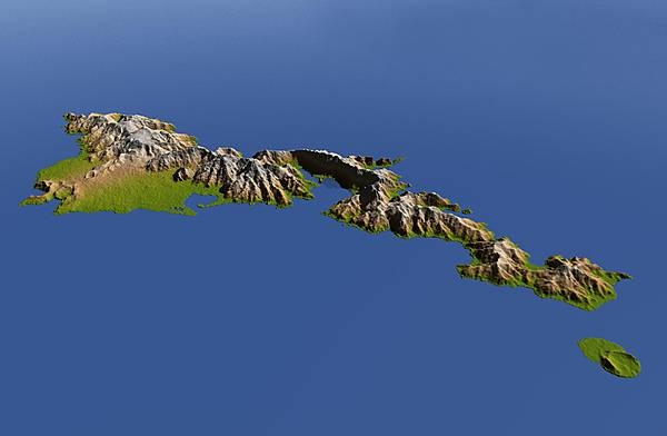
The topography of Tutuila, largest of the islands of American Samoa, is distinctively shown in this color-coded perspective view generated with digital elevation data from the space. Two visualization methods were combined to produce the image: shading and color coding of topographic height. The total area of Tutuila is about 142 sq km (55 sq mi), slightly larger than San Francisco. The large bay near the center in this view is Pago Pago Harbor, actually a submerged volcanic crater whose south wall collapsed millions of years ago. Adjacent to the harbor is Pago Pago, the capital of American Samoa, and to the left (west) of the harbor in this view is Matafao Peak, Tutuila's highest point at 653 m (2,142 ft). The small island to the east is Aunu’u. Topography is exaggerated by a factor of two. Image courtesy of NASA/JPL/NGA.
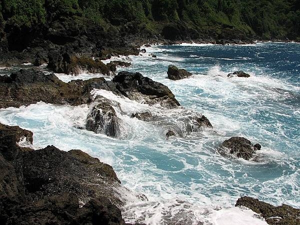
North coast of the island of Tutuila. Photo courtesy of the US National Park Service.
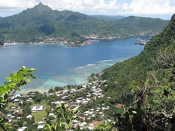
A view of Pago Pago Harbor on Tutuila Island; the mouth (entrance) is to the left. Photo courtesy of the US National Park Service.
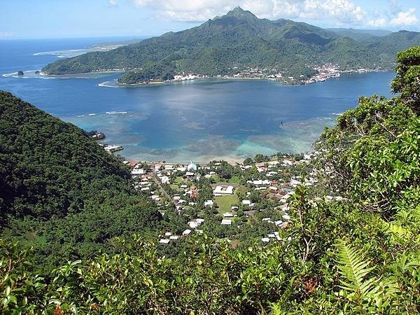
Pago Pago Harbor extends deep into Tutuila Island providing excellent protection for ships at anchor. Photo courtesy of the US National Park Service.
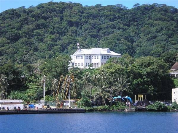
The governor’s mansion at Pago Pago. Image courtesy of NOAA / Jennifer Fry.
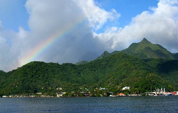
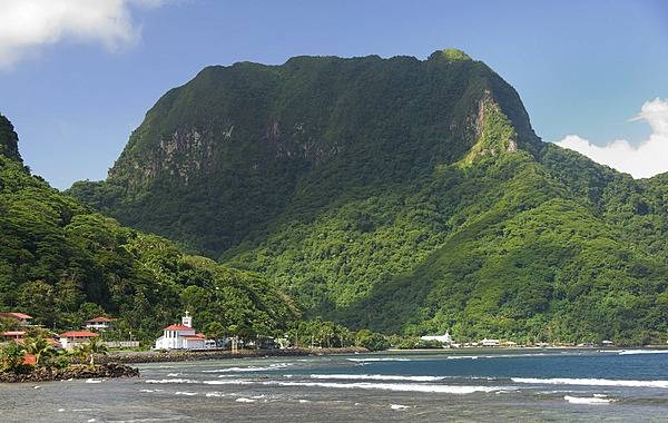
Located on opposite sides of Pago Pago Harbor, Matafao Peak (center) and Rainmaker Mountain far left) are two of the five great masses of volcanic rock that were extruded as molten magma during the major episodes of volcanism that created Tutuila island. Matafao Peak is the highest mountain on the island. Photo courtesy of the US National Park Service.

Located on one side of Pago Pago Harbor, Matafao Peak is one of five great masses of volcanic rock that were extruded as molten magma during the major episodes of volcanism that created Tutuila island. Matafao Peak is the highest mountain on the island. Photo courtesy of the US National Park Service.
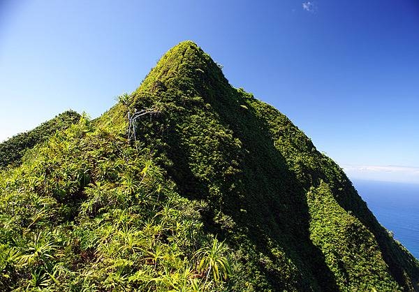
Located on one side of Pago Pago Harbor, Matafao Peak is one of five great masses of volcanic rock that were extruded as molten magma during the major episodes of volcanism that created Tutuila island. Matafao Peak is the highest mountain on the island. Shown is the peak of Matafao Peak. Photo courtesy of the US National Park Service.
One of the seven National Natural Landmarks located on the opposite side of Pago Pago Harbor, Rainmaker Mountain is a great mass of volcanic rocks extruded as molten magma during major episodes of volcanism that created Tutuila island. Photo courtesy of the US National Park Service.
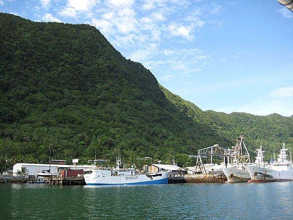
The tall mountains surrounding Pago Pago make it a sheltered harbor. Shown here are tuna boats in port. Photo courtesy of NOAA.
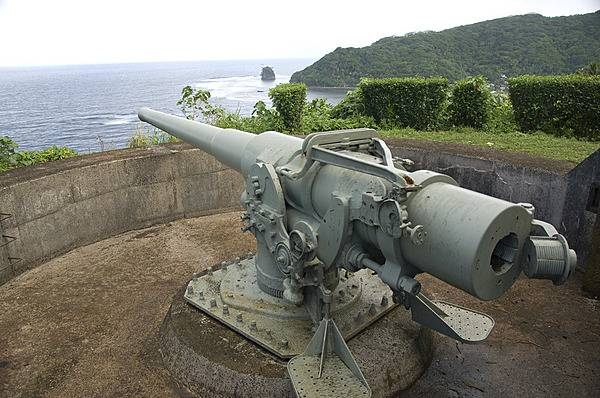
The tensions of World War II prompted the US Government to begin fortifying American Samoa in 1940. US Marines installed the two 5 inch coast defense guns on the west side of Pago Pago Harbor at Blunts Point, and another two on the east side of the harbor at Breakers Point. Following the Japanese attack on Pearl Harbor in December 1941 and the capture of Guam shortly thereafter, American Samoa became of critical importance as the only major American base in the western Pacific, and it was further fortified in anticipation of attack. Although no attack ever came, American Samoa was a critical supply and training point for American military actions in the Pacific. Photo courtesy of the US National Park Service.
Page 01 of 07