Afghanistan
Photos
14 Photos
Per Page:
Filter Categories
All
Filters
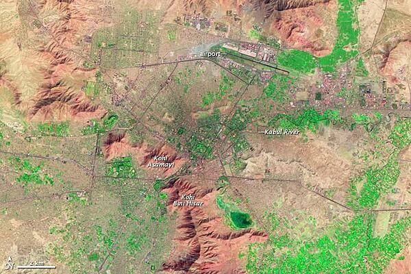
For more than 3,000 years, Kabul has occupied a strategic location along Central and Southern Asian trade routes. In the late eighteenth century, Kabul was established as Afghanistan's capital.
In this false-color satellite image vegetation appears fluorescent green, urban areas range in color from gray to black, and bare ground varies in color from beige to reddish brown. A mountain range, including Kohi Asamayi and Kohi Bini Hisar, snakes through the scene, running roughly northwest-southeast. More peaks appear in the northeast, right next to an airport. Urbanization appears densest at the city's center, just southwest of the airport, and it stretches out toward the right side of the image along an east-west highway. Leaping a mountain boundary, cityscape also fills the lower-left quadrant of the image.
Partly constrained by surrounding mountains, Kabul's primary direction for growth has been vertical, with multistory buildings constructed atop existing structures. Photo courtesy of NASA.
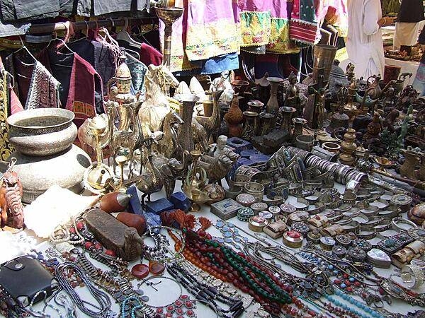
Clothing, jewelry, sculptures, and handicrafts on display at a bazaar in Kabul.
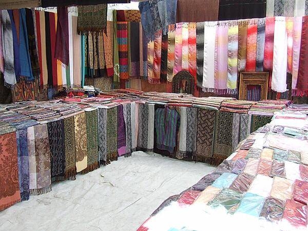
Fabrics displayed at a Kabul bazaar.
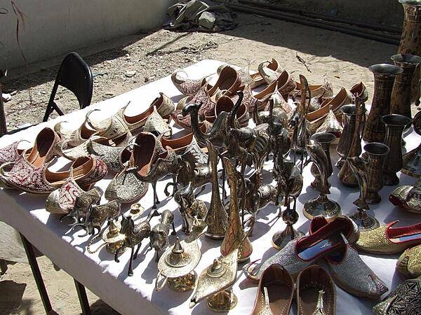
Shoes, sculptures, and goblets for sale at a Kabul bazaar.
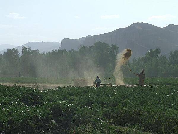
Winnowing is a traditional process for separating chaff (seed coverings, straw, and other debris loosened in the threshing process) from grain. The threshed mixture is flung into the wind to allow the heavier grains to fall to the earth, while the lighter chaff is carried off on the breeze.
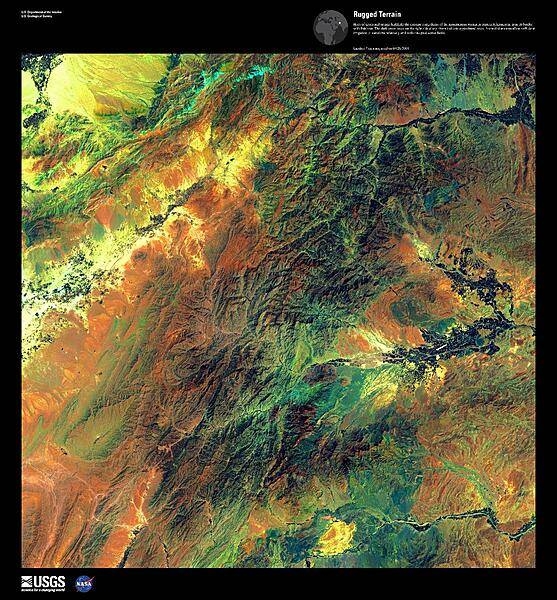
Hues of green and orange highlight the extreme ruggedness of the mountainous terrain shown in this false-color satellite image of eastern Afghanistan, near its border with Pakistan. The dark green areas on the right side along rivers indicate agricultural areas. Snow-fed streams allow sufficient irrigation to transform relatively arid soils into productive fields. Image courtesy of USGS.
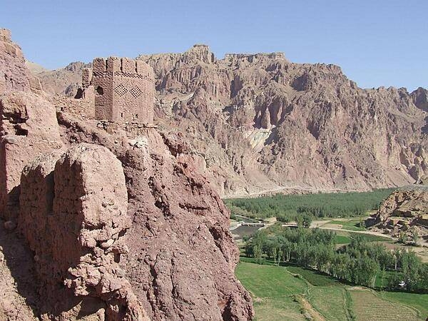
View from Shahr-i-Zohok (the "Red City") in Bamyan Province. Once a citadel housing about 3,000 people, it was destroyed by the Mongols in the 13th century. The invaders also leveled the nearby city that the fortress had protected and massacred all its inhabitants (possibly 150,000) and animals. In memory, the site is today known as Shahr-i-Gholghola (the "City of Screams").
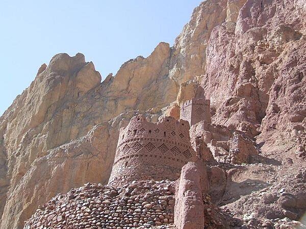
View of Shahr-i-Zohok (the "Red City") in Bamyan Province. The color comes from the red clay used in construction; the dry climate has allowed for the remarkable preservation.
View of surrounding farmlands from within the caves at the "Large Buddha" in Bamyan. The caves were once inhabited by Buddhist monks who left behind a legacy of religious frescoes and paintings, partially destroyed by the fundamentalist Taliban.
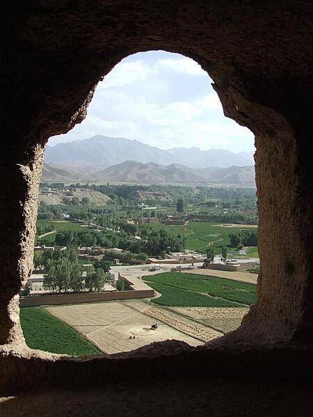
View of surrounding farmlands from within the caves at the "Large Buddha" in Bamyan.
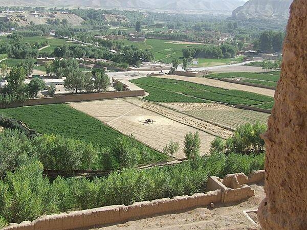
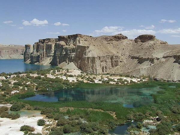
Band-e-Amir in Bamyan Province is Afghanistan's first national park; it consists of six spectacular turquoise lakes separated by natural dams of travertine.
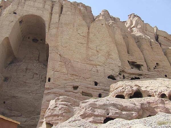
View of the shell of the "Large Buddha" and surrounding caves in Bamyan. The Buddha statue in this cave as well as in another - both dating to the sixth century A.D. - were frequently visited and described over the centuries by travelers on the Silk Road. Both statues were destroyed by the Taliban in 2001.
Page 01 of 02