Artifact Details

CIA’s Cartography Center can trace its roots back to the Office of the Coordinator of Information (COI), which predated the Office of Strategic Services and the CIA. In the fall of 1941, the COI, headed by General William “Wild Bill” Donovan, decided to set up a Cartography Section. Following Japan’s attack on Pearl Harbor and America’s entry into WWII, demand for customized maps increased dramatically.
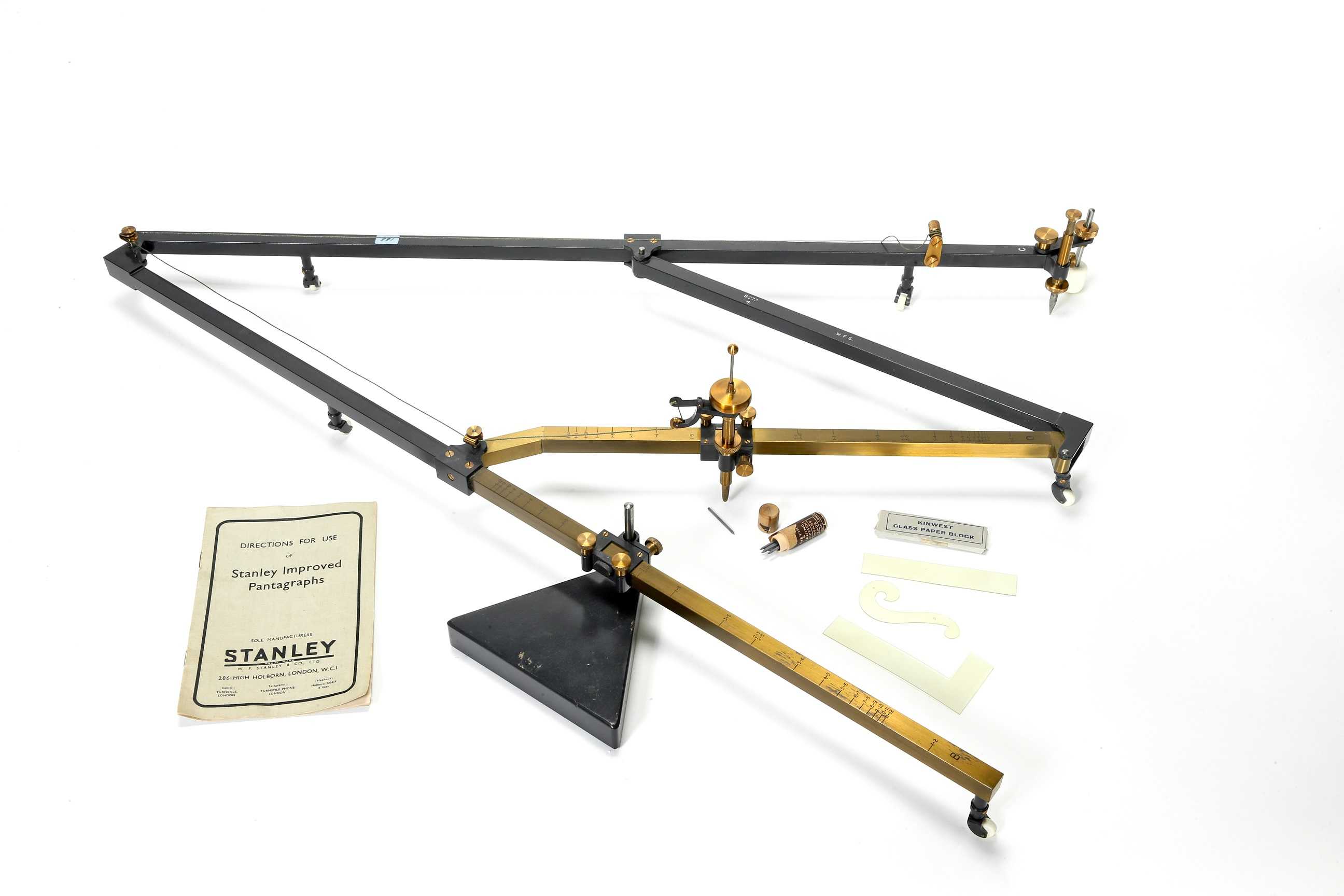
This artifact is a pantograph used to reproduce maps to scale. The map to be reproduced was placed next to a blank sheet of paper or mylar. The arm of the pantograph was set for the desired enlargement or reduction. As the original map was traced by one arm of the pantograph, a pen or pencil on the tool’s other arm created a scaled reproduction. This pantograph was first used by the COI Cartography Section in 1941 and continued in use by the CIA Cartography Center into the 1960s.
